
Foundation Model for European Geospatial Mapping
Organisations involved
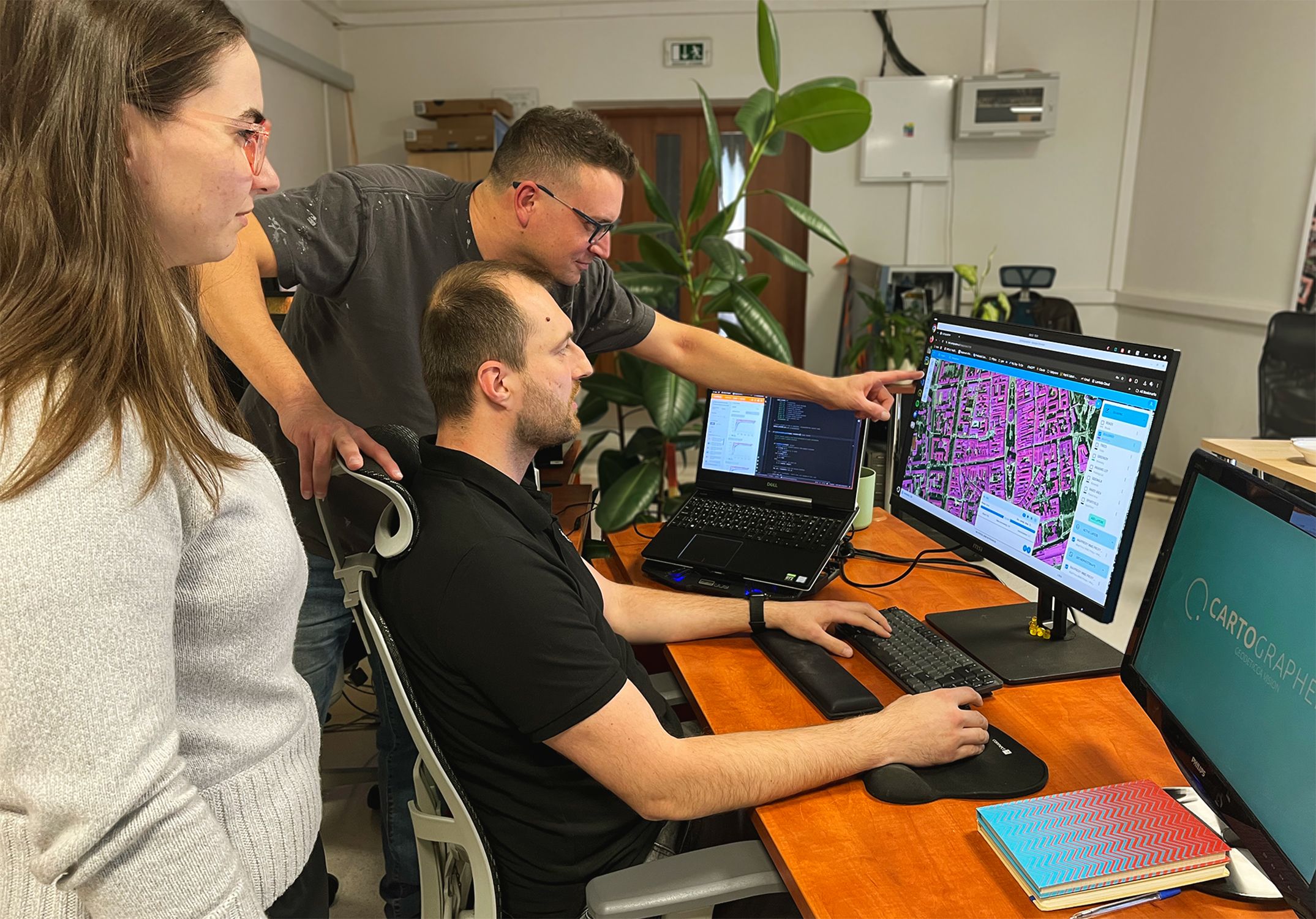
Main Participant: GEODETICCA VISION s.r.o. is a Slovak SME specialising in geospatial data processing and developer of the CARTOGRAPHER platform, which converts satellite and aerial imagery into vector data.
Technology provider: Centre of Operations of the Slovak Academy of Sciences (Slovakia’s national HPC centre) who provide expertise in parallel programming, model training and data processing to the project.
The challenge
The geospatial sector increasingly relies on AI and machine learning to extract information from satellite and aerial imagery, yet current models need significant amounts of labelled data to work well in diverse regions. This makes solutions expensive to train, slow to deploy, and difficult for SMEs to scale across Europe.
GEODETICCA VISION’s CARTOGRAPHER platform creates clean vector data for use in urban planning, environmental protection and emergency response. They identified that adapting foundation models to each new country required large annotated datasets, creating three major barriers: high project costs that small organisations could not afford, long preparation times that slowed deployment, and limited geographic flexibility that blocked expansion into new markets.
To grow across Europe, the company needed to cut training data requirements while keeping accuracy high. Achieving this required training a foundation model on massive European imagery collections—an effort far beyond the capacity of its current compute resources. Utilising HPC made it possible to process the required data volumes and train the GEODETICCA VISION Foundation Model (GVFM) at the scale needed for increased competitiveness.
The solution
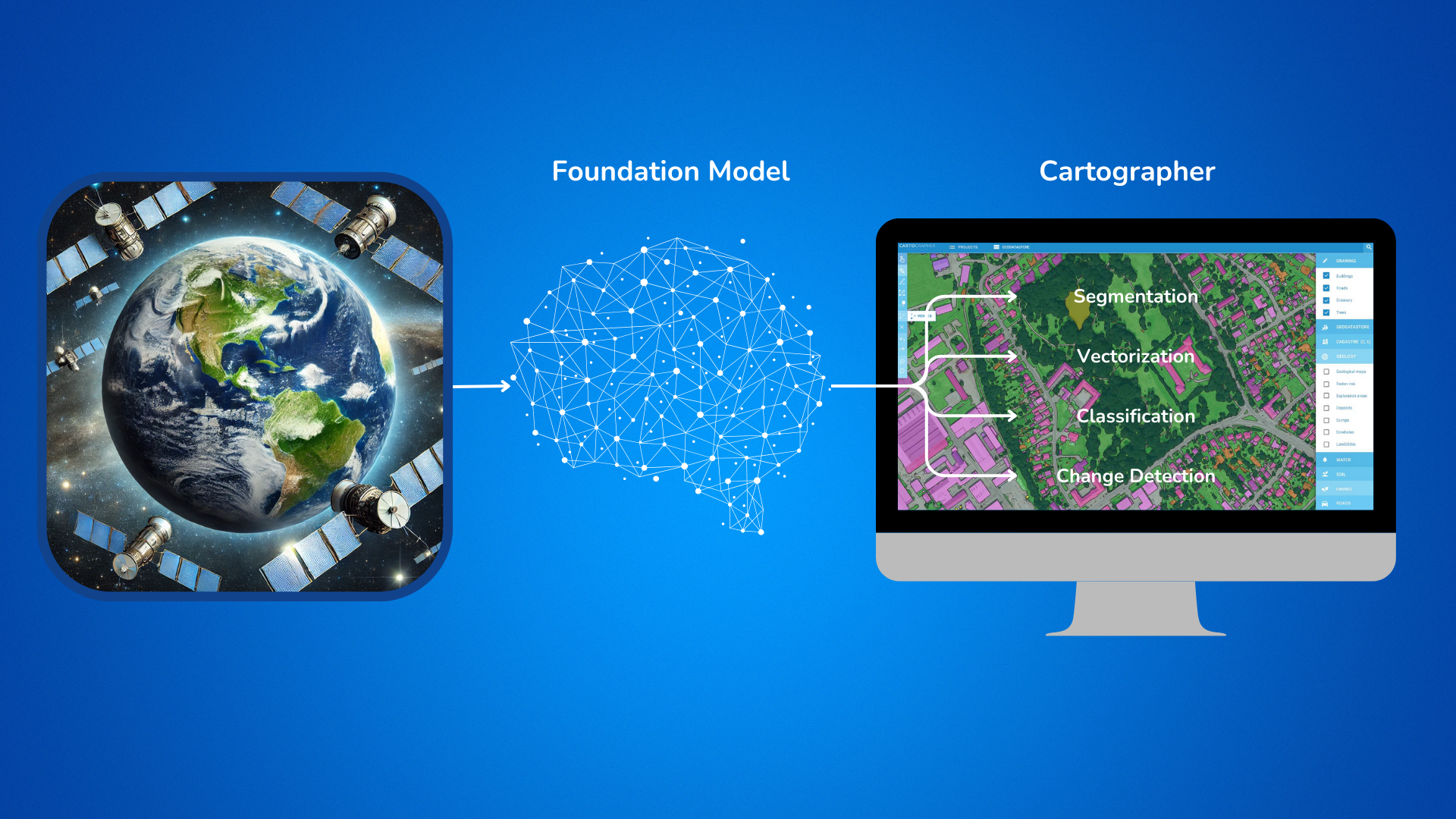
GEODETICCA VISION created GVFM to be a large foundation model trained on high-resolution imagery covering 17 European countries. By utilising HPC, the team processed 90 TB of raw imagery into a curated 9 TB training dataset with 600 million samples. The model was trained on MareNostrum-5 and supported by the Devana HPC system in Slovakia for data preparation.
After training, the model was fine-tuned on GEODETICCA VISION’s own segmentation data and integrated into the CARTOGRAPHER platform. It delivers strong performance even with small-scale annotated datasets, thereby allowing the company to deploy solutions faster at much lower cost. HPC infrastructure was vital to mading this level of large-scale model development a success.
Business, social and environmental impacts
Partners build a foundation model that transforms its business model and expands its European target marketplace. The new approach reduces annotated data needs by 87.5%, cutting typical project costs from €170,000 to €25,500 and enabling affordable service agreements with local government, environmental bodies and smaller organisations.
The model’s ability to differentiate datasets across different European landscapes removes barriers to entering new markets, shortening deployment times and strengthening competitive positioning. This creates new opportunities for collaboration with regional authorities and environmental agencies, helping them deliver faster services such as land-use planning, disaster response mapping and infrastructure monitoring.
By improving access to geospatial intelligence for budget-constrained organisations, the solution supports better public services and more informed environmental decision-making across Europe.
Benefits
· 33% higher accuracy compared with previous models on proprietary land-use data.
· 87.5% reduction in labelled data, cutting project costs by €144,500 on a typical dataset.
· Faster deployment, enabling local government and SMEs to adopt advanced geospatial mapping tools.
· Highly scalable, with a single model working across regions without retraining.
· Reusable foundation model supporting multiple applications within the CARTOGRAPHER platform.